Our services
Whether you’re a researcher, student, or industry professional, our team at Quest GIS is committed to delivering high-quality mapping solutions on time and at competitive prices. We are open for collaborations with academic researchers or industry professionals with interest in remote sensing and GIS. Let’s make geospatial insights accessible, actionable, and transformative. Spread the word and connect with Quest GIS today!
Geospatial Solutions using GIS
GIS is transforming industries, and mastering QGIS, Python and Google earth engine (GEE)—the leading open-source GIS tools—can give you and your organization a competitive edge.
🔹 Training Programs (Virtual & On-Site)
✅ Academic Training
✅ Corporate Training
✅ Personal or Customized Training
Join one of our comprehensive training programs to enhance your GIS skills and drive impactful projects. Contact us for details on course content, pricing, and available schedules.
👉 Learn more about our courses: https://questgis.co.in/upcoming-courses/
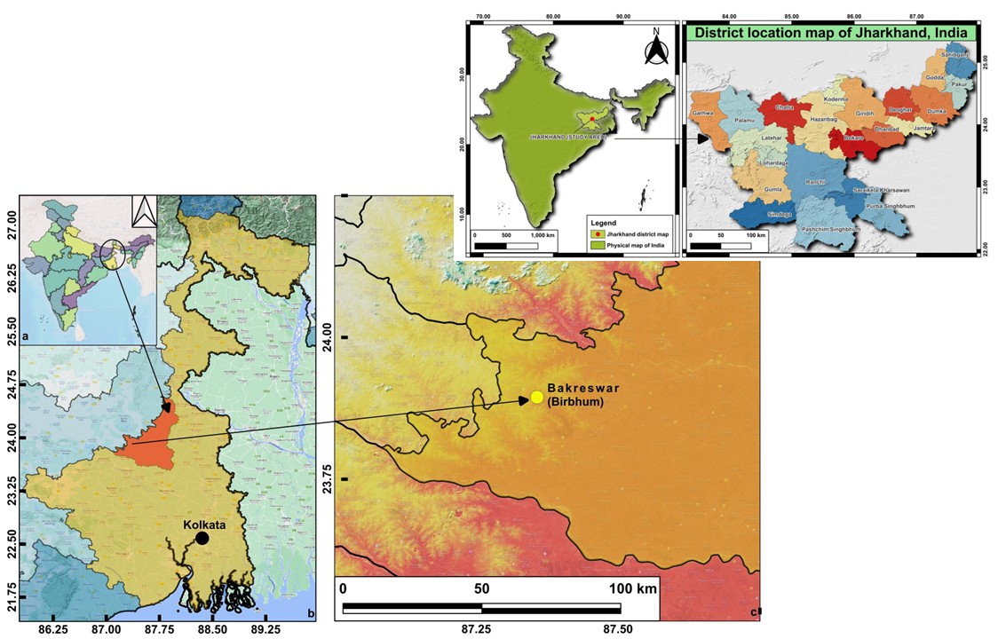
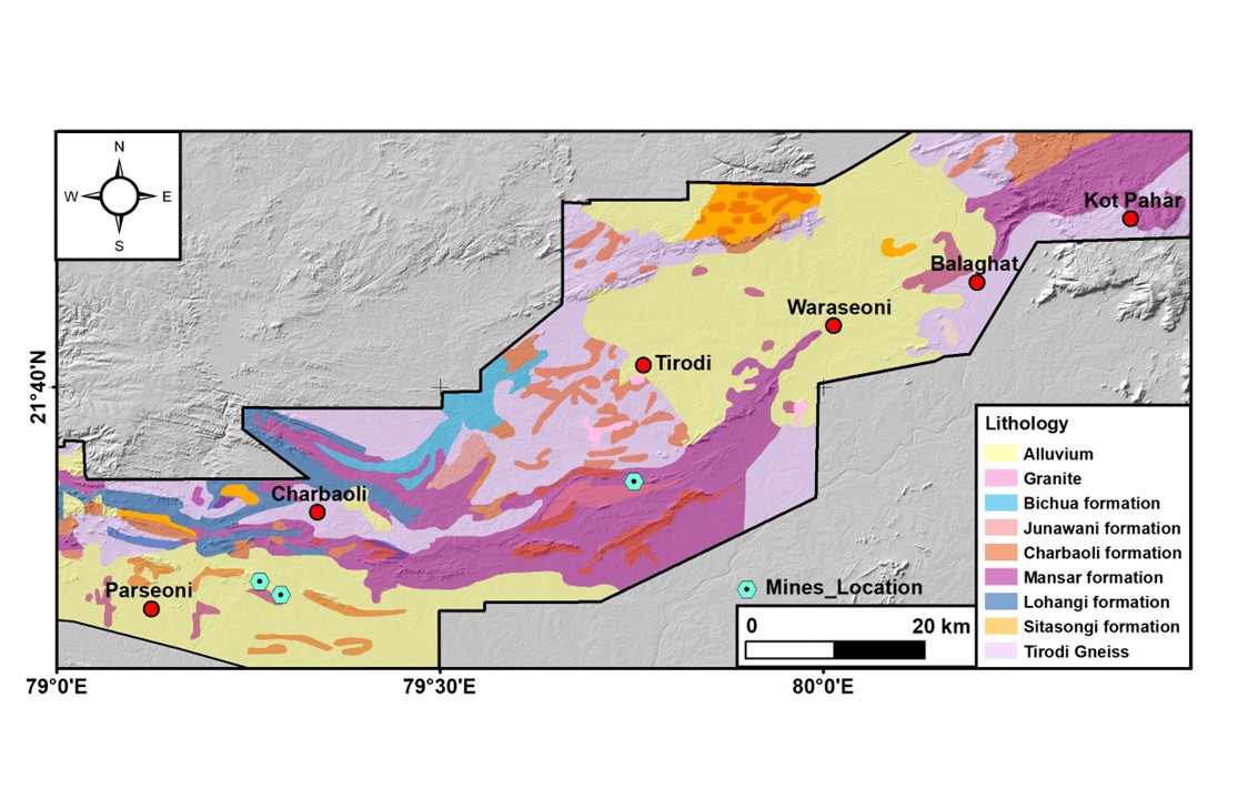
✅ Georeferencing & Digitization of maps
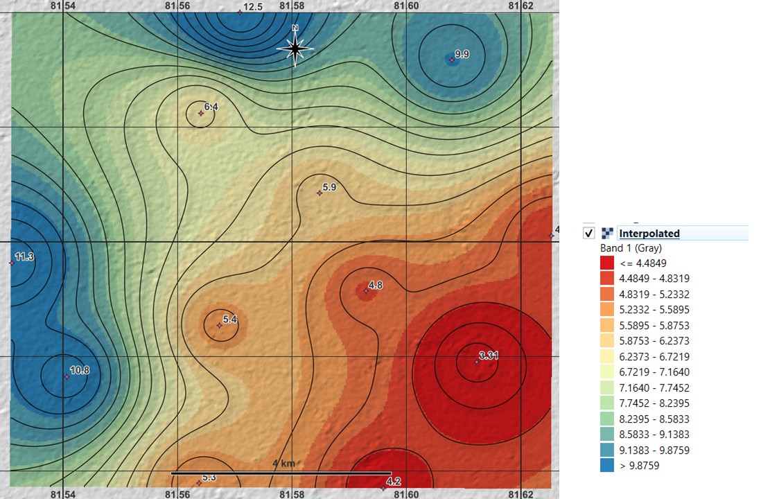
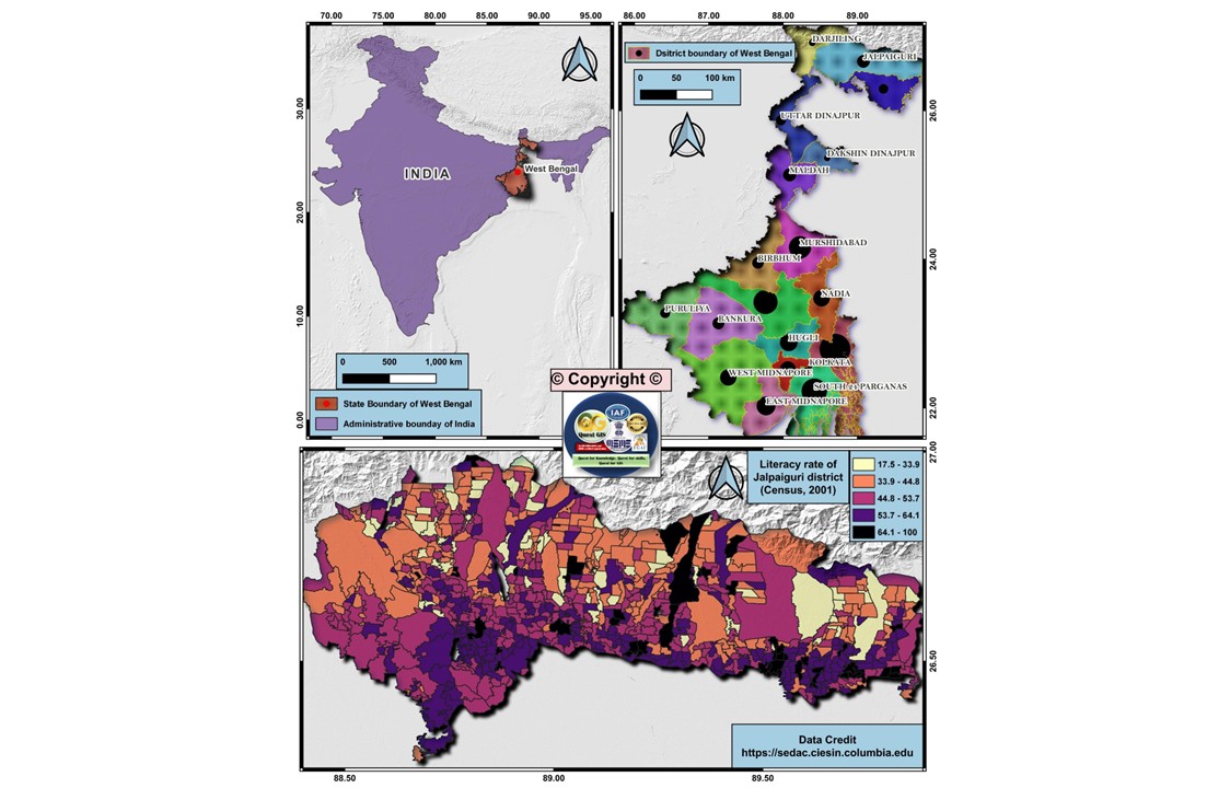
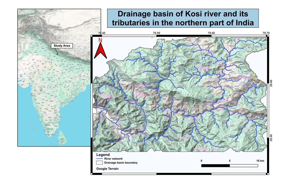
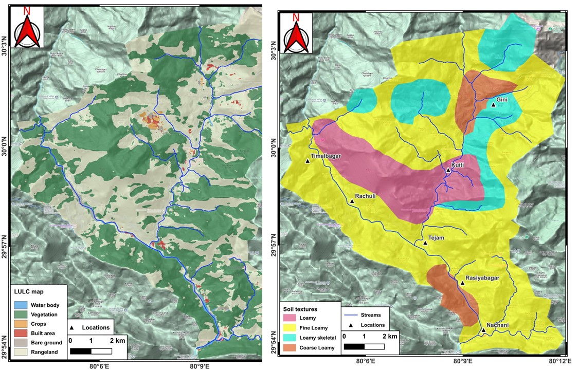
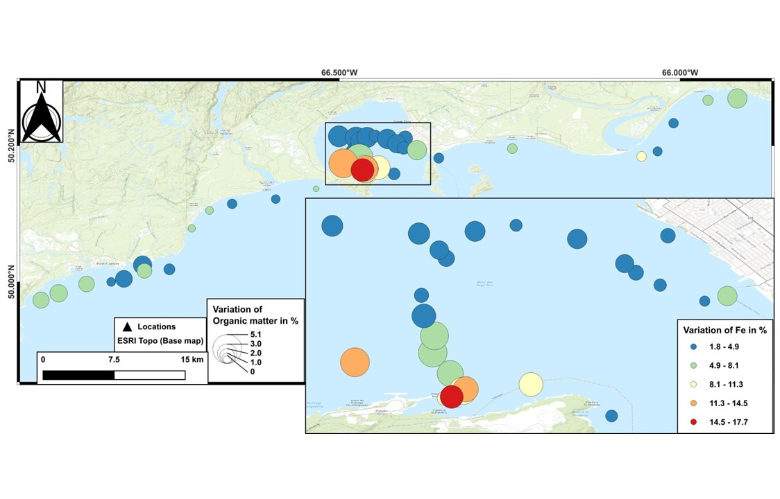
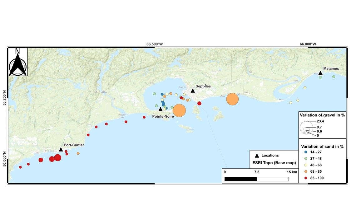
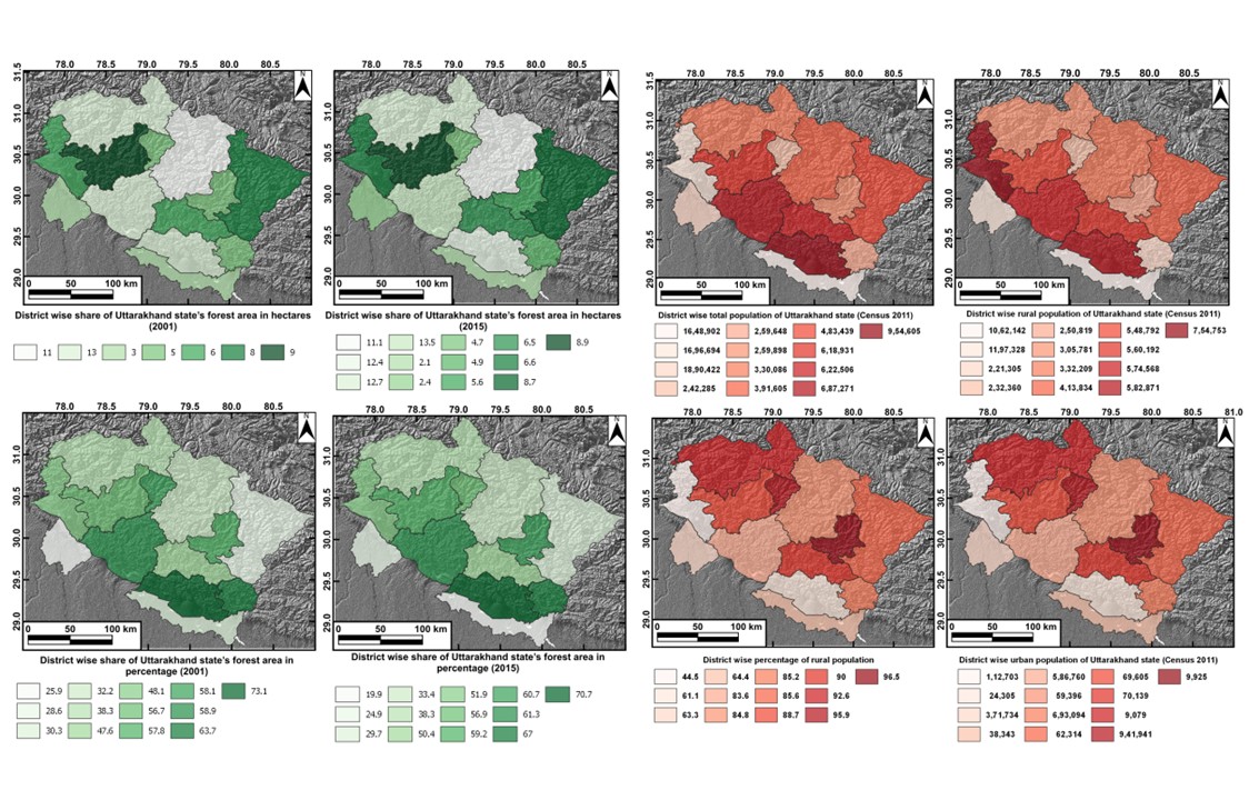
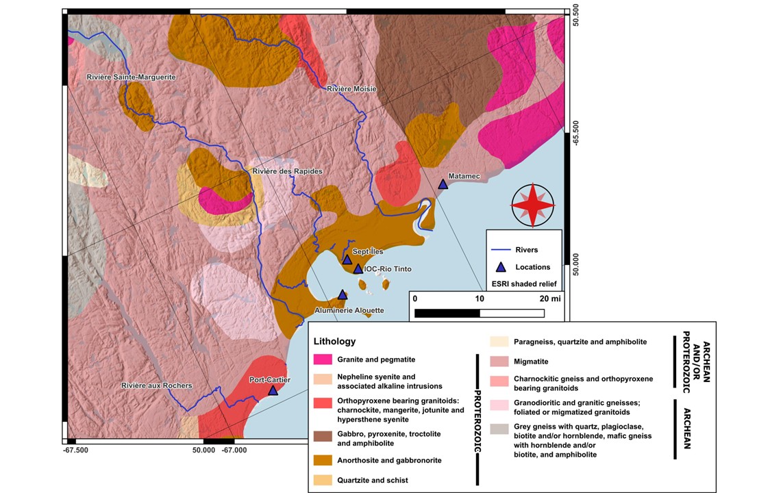
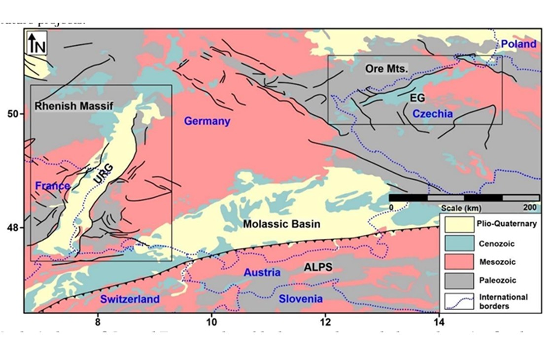
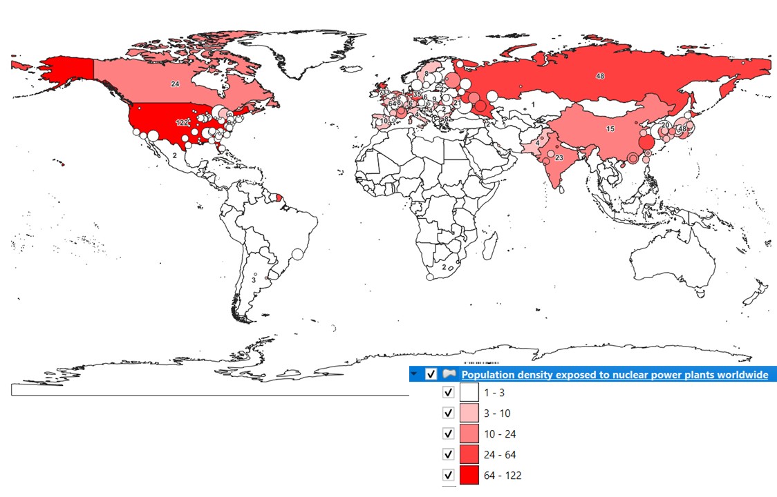
✅ Thematic Mapping
✅ Morphometric analysis of watershed
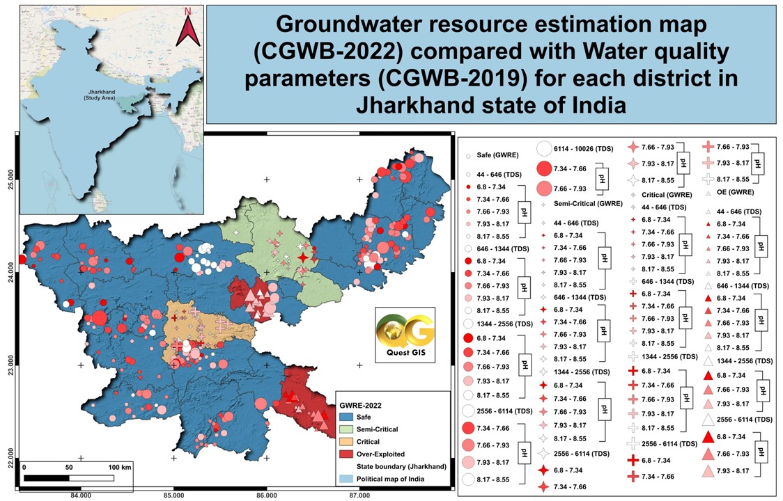
✅ Groundwater Quality & Monitoring
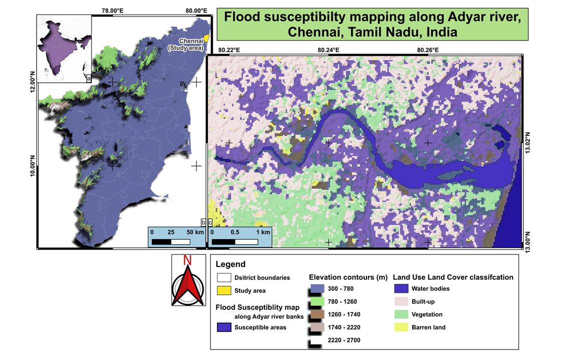
✅ Flood assessment mapping
✅ Landslide zonation mapping
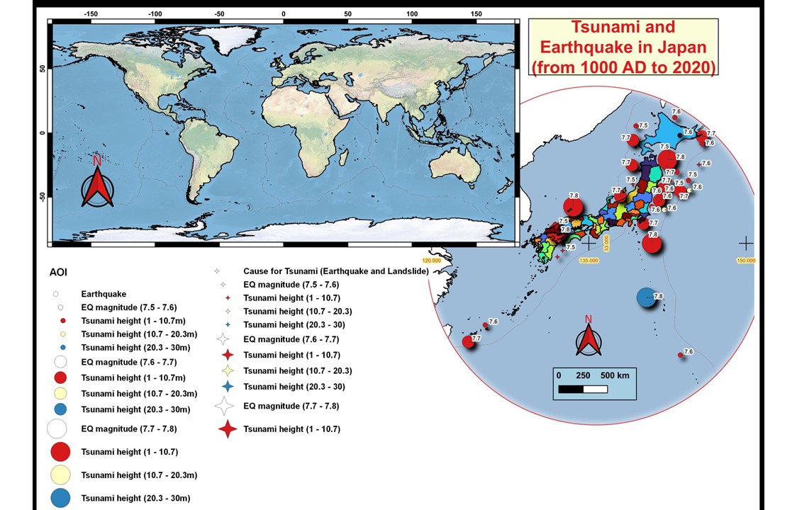
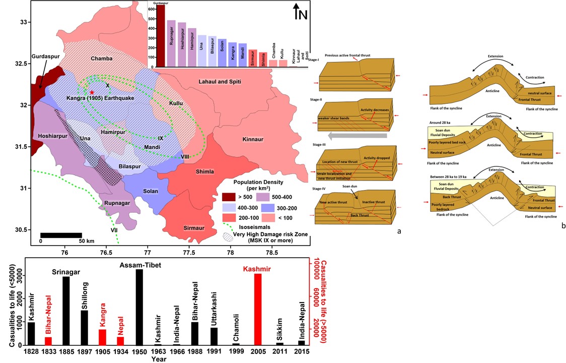
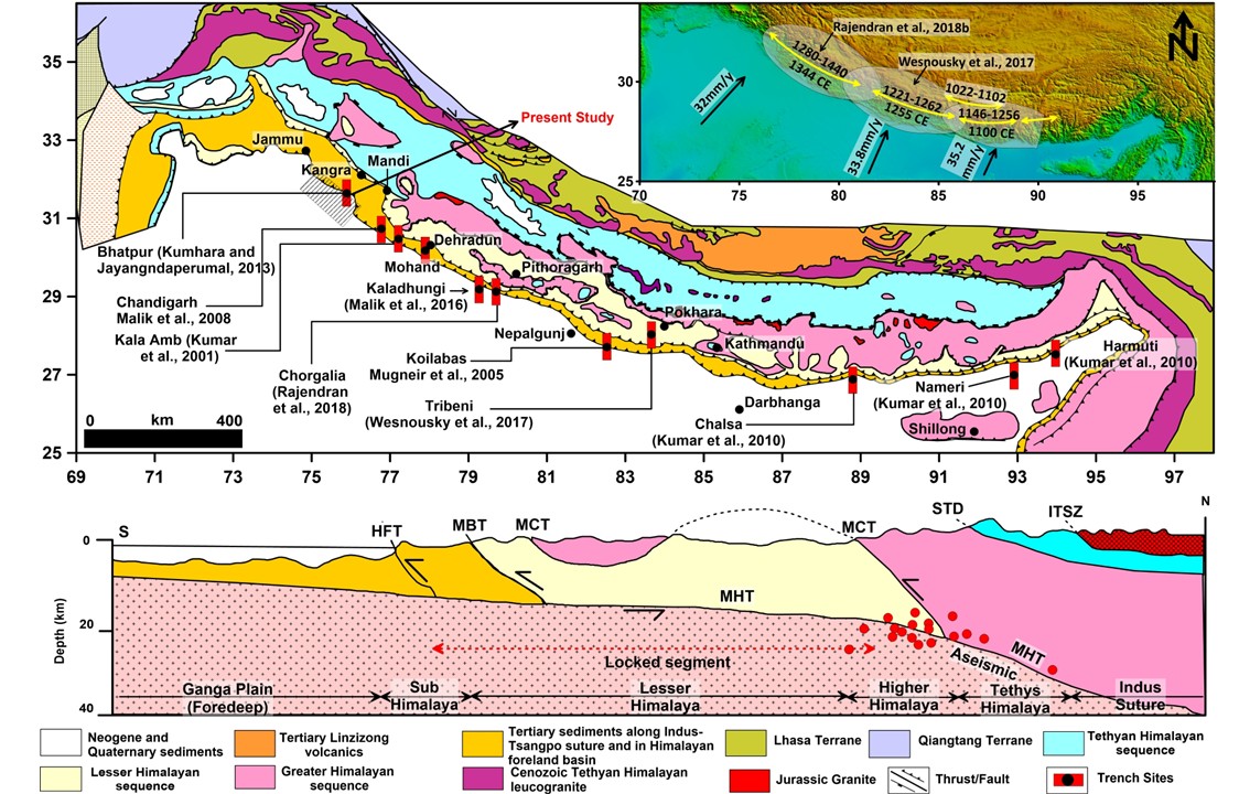
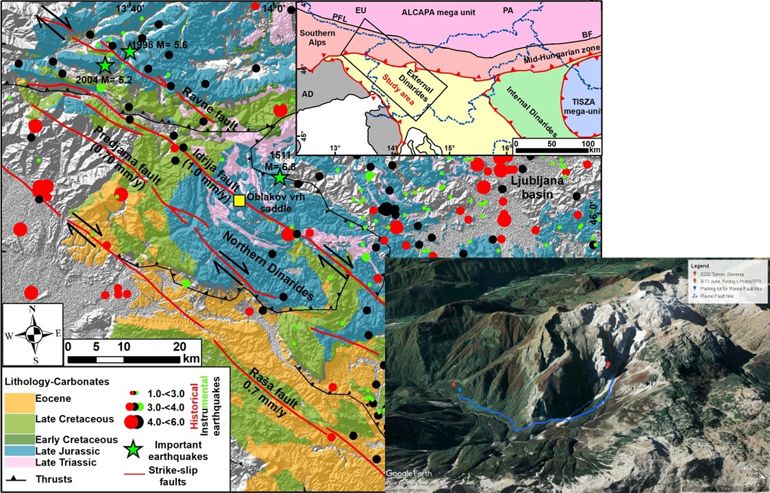
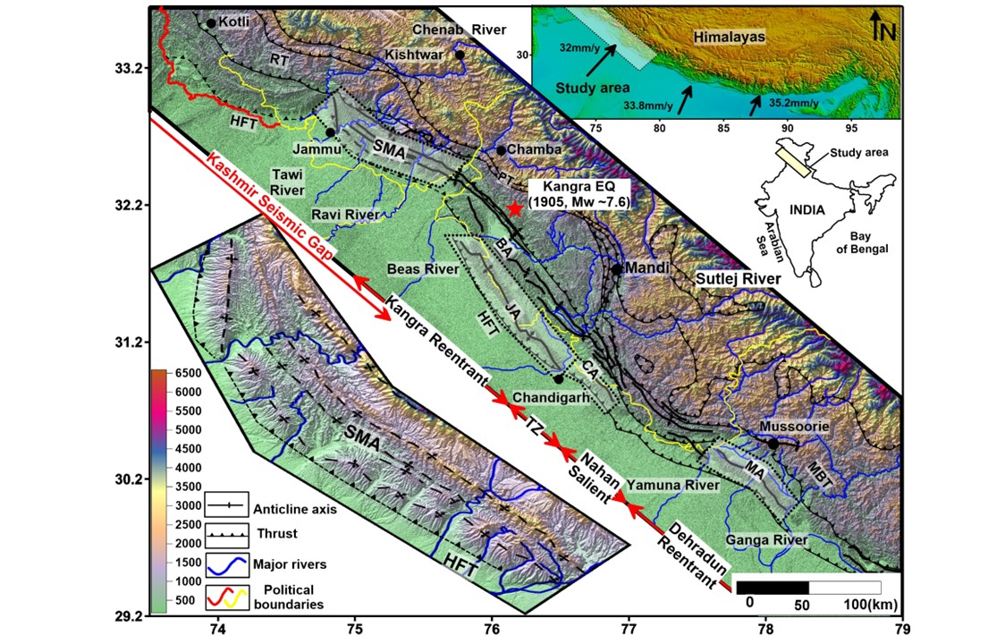
✅ Earthquake hazard and intensity mapping
✅ Demographic Assessments
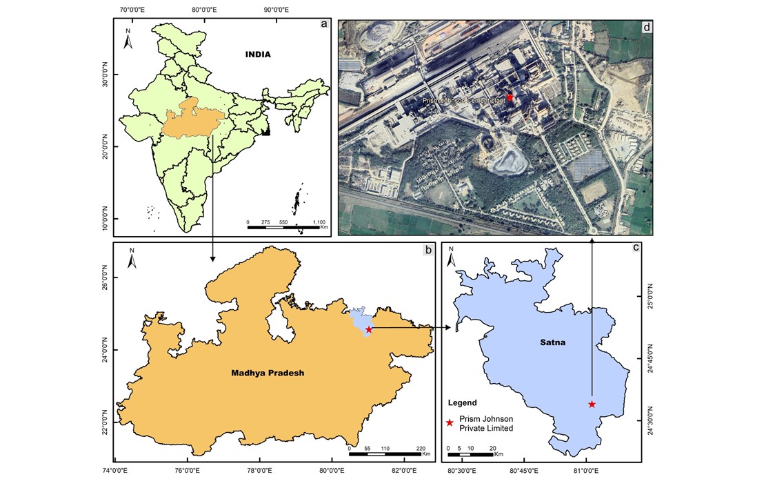
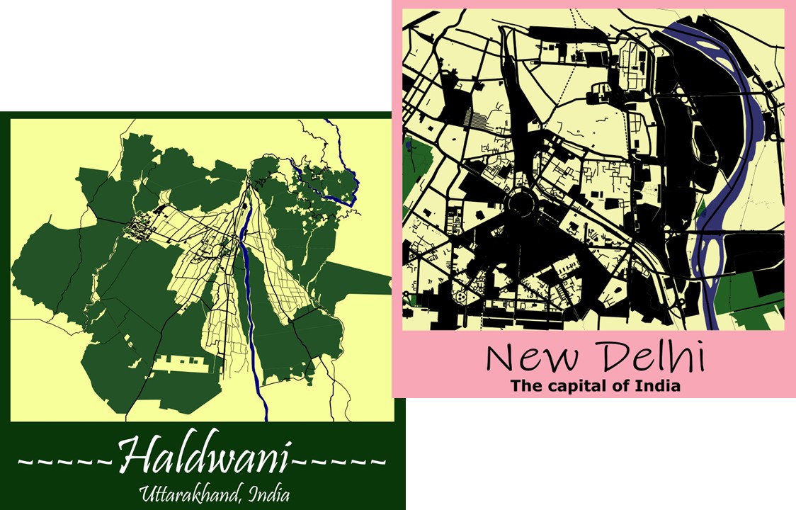
✅ Geospatial Visualization & Professional Mapping
✅ 3D Modelling for subsurface and surface data





A wonderful platform which serves best for all the new geology aspirants. In depth knowledge of geology is associated with skills (in depht ) and accompanied with patience serves the best
Quest GIS offers high-quality mapping services and detailed, easy-to-follow classes for users at all skill levels. Their pricing is highly affordable, especially for students seeking cost-effective GIS learning